Between the lines

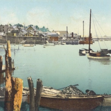
FORMED in 1807 to map the nation’s shorelines and chart its coastal waters, the United States Coast Survey was beset for much of its early life by military, political and economic pressures, slowing and sometimes halting the progress of the first scientific agency ever established by the federal government. But the value of its aims … More Between the lines

100–Last dance

WHEN retained at age 18 to produce a survey of Key West, whose existing streets he could count on the fingers of one hand, William A. Whitehead drew a town “more pretentious on the map than in reality.”1 He would have been unfazed, then, to discover that most streets and squares on a “Plan of … More 100–Last dance

075–Old Mortality

NO human lives were lost when fire destroyed Edward Stewart’s United States Hotel. But upon the plight of hundreds already dead, the 1844 blaze cast a lurid glow.1 Stewart’s hotel stood upon ground that the first settlers of Newark had early reserved for common use. Thirty years after their arrival, the dimensions and limits of … More 075–Old Mortality

054–Native sense

WILLIAM A. Whitehead’s East Jersey under the Proprietary Governments1 opens with a map of New Jersey, but a map of long and complicated pedigree. Its placement at the front of this octavo volume is itself a cause of some perplexity. The frontispiece was lithographed from the meticulous pen-and-ink tracing of a section of a much larger … More 054–Native sense